Oyster Lake

Overview
Location: Walton County, FL
Project Type: Shorelines & Waterways
Application: Channel Stabilization
Product Used: ARMORMAX
Problem
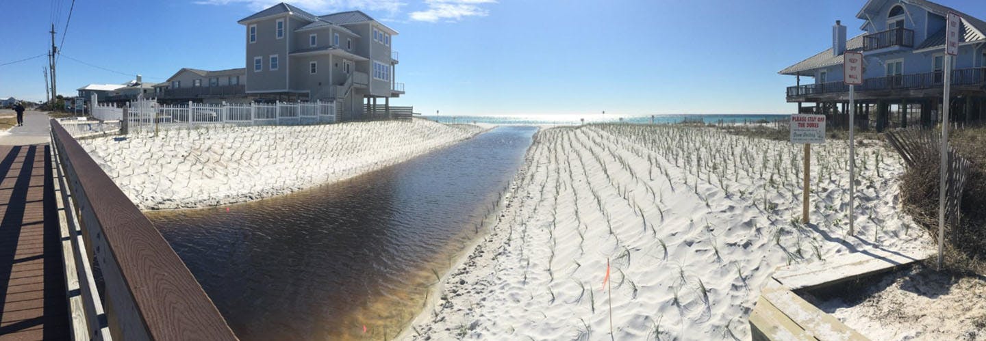
Oyster Lake is a coastal dune lake, which creates a unique interchange between a natural storm water lake and the Gulf of Mexico. When a coastal dune lake reaches a high water level, flow breaks through the dune system forming a channel between the lake and the Gulf. The channel, or outfall, is critical for regulating water levels and mitigating flooding. Oyster Lake’s outfall outfall had become severely degraded and the overall health was strained from major storms and urban growth. Walton County and other state agencies wanted to reinforce the outfall while preserving the natural vegetation.
Solution
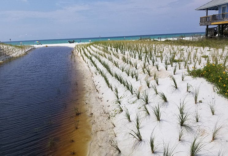
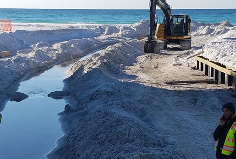
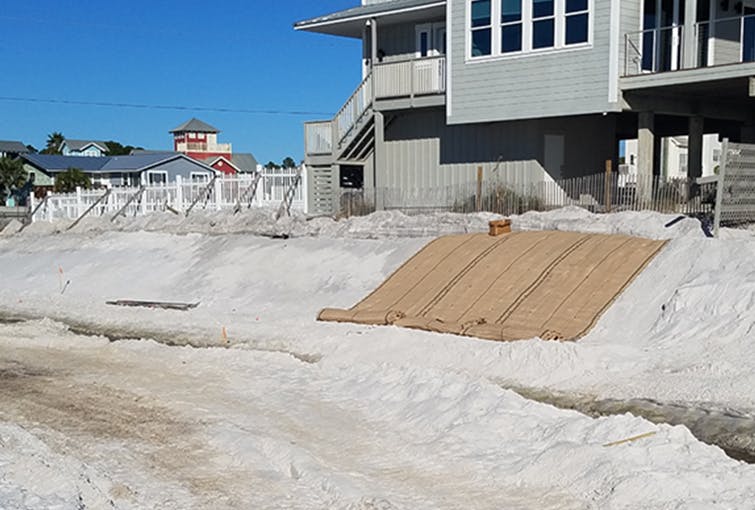
The channel measures 12 feet deep with sides slopes at a gradient of 3 Horizontal: 1 Vertical (3H:1V). Soil in the channel is composed of fine sand. The length of the channel is 500 feet. More than 2,000 square yards ARMORMAX® with six foot, B2 anchors was installed along the channel. This system was selected because it provides slope stabilization and erosion control while promoting vegetation. During installation 2,000 sea oats were planted within the ARMORMAX system. ARMORMAX’s patented X3 fiber technology helps helps hold moisture to promote vegetation.

Performance
After installation, Hurricane Michael (category 4) made landfall 60 miles east of Oyster Lake causing winds up to 80 mph, storm surge, and significant rainfall and flooding at the project location. The vegetated slopes of the outfall withstood the extreme conditions, protecting several beachfront homes and a Highway 30A bridge that crosses the channel.
Interested in learning more about Armormax®?
View Product